Distance: 3.5 mi
Elevation Gain: 518 ft.
Estimated Time: 0.5-2 hr.
Style: Loop
Parking Fee: Free
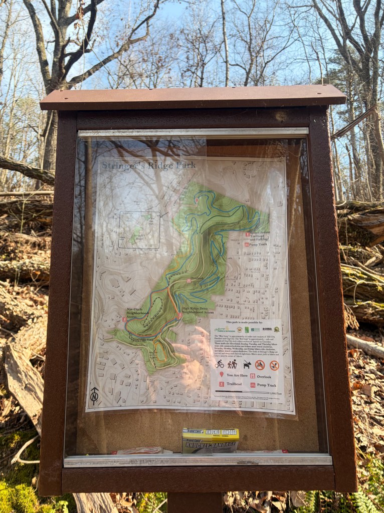
The Blue Trail Loop is located in Stringer’s Ridge Park in Chattanooga, TN and Red Bank, TN. Stringer’s Ridge is a 92-acre forested park surrounded by city. It is beloved by locals and visitors alike for providing easy access to quality hiking and biking trails. There are multiple trailheads throughout the park. This guide starts you at one of the more popular trailheads and parking areas off Spears Avenue.
Although this trail is very approachable for beginner hikers, be aware that there is quite a bit of up and down. This allows for beautiful views and a full experience of the park, just be prepared for a little bit of a workout. *Great for trail runners looking to get some vert on a shorter run!
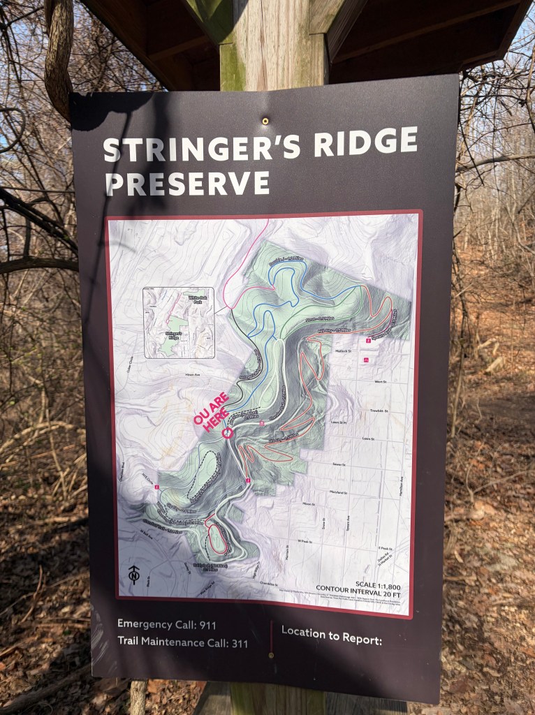
There are maps posted throughout the park and the trails are well marked. However, due to the number of different trails available, navigating can be tricky for first timers. The Blue Loop Trail is actually comprised of three uniquely named trails in Stringer’s Ridge Park (Double J, Gig City, and Hill City Trails), together forming a complete loop around the outer edges of the park. Using this guide will help keep you on track!
Directions:
If coming from downtown Chattanooga, follow US 127 across the river onto N. Market St. Veer left onto Hamilton Ave., turn left on Sawyer St., then right on Spears Ave. This will take you up a small hill to an obvious parking area with signage for the park.
If Coming from North of Chattanooga, travel south on Dayton Blvd. Turn left at the light onto Memorial Dr. Veer right onto Pine Breeze Rd. (will become Hamilton Ave.). Take a right onto Wert St. and another right on Spears Ave. Continue up the hill to the parking area.
You can also search “Stringer’s Ridge” on most GPS apps. Navigate to the trailhead on Spears Ave.
Let’s go hike the Blue Trail Loop. Take screenshots and follow along as you hike!
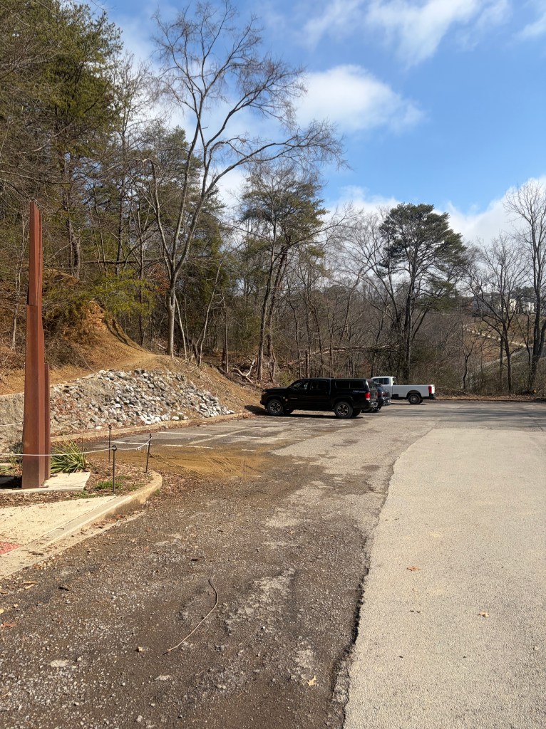
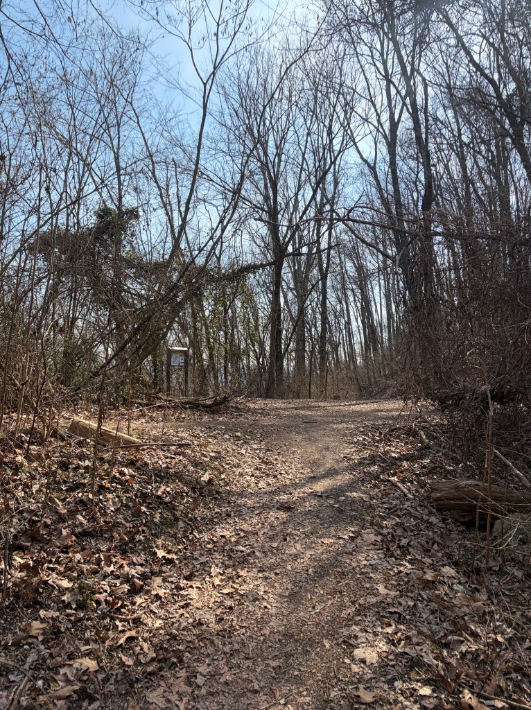
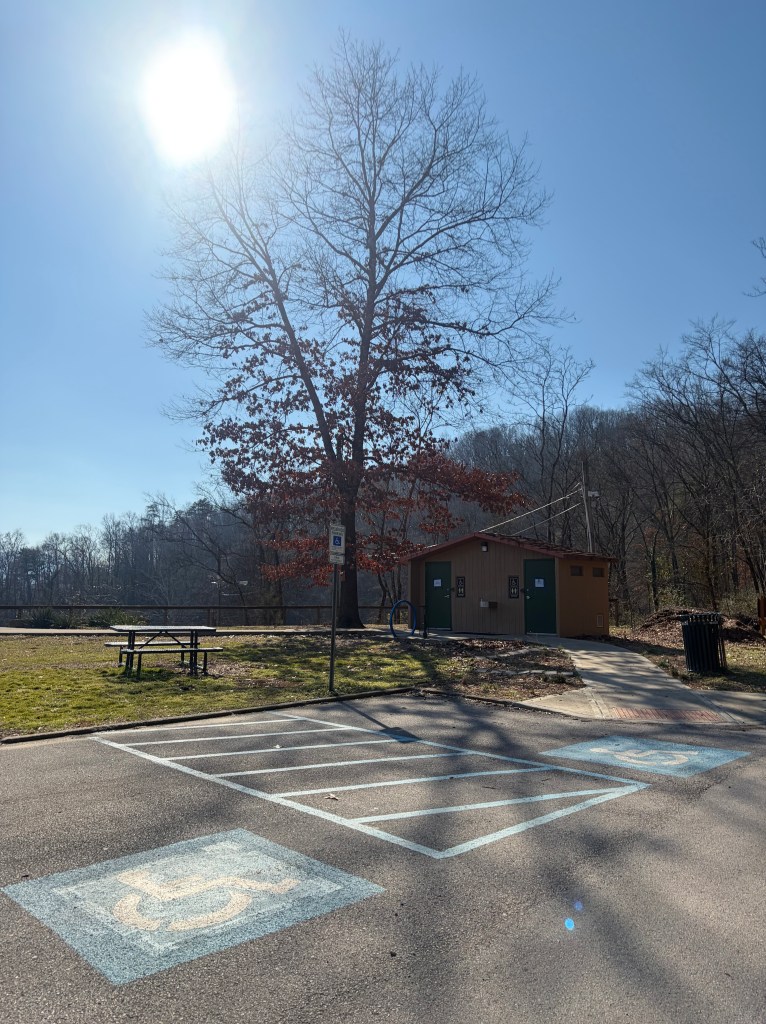
The Spears Ave. parking lot has room for about 30 cars. This trailhead is very popular, so parking can fill up. Avoid coming on a weekend if possible, or try to arrive early in the morning, especially when weather is nice.
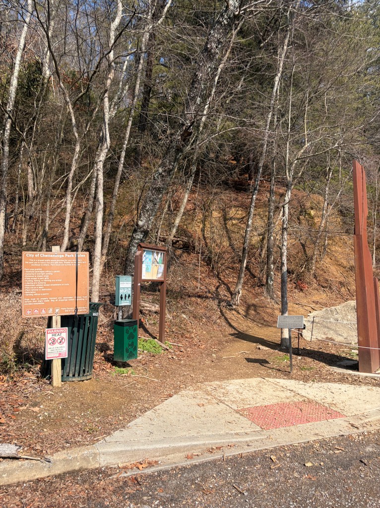
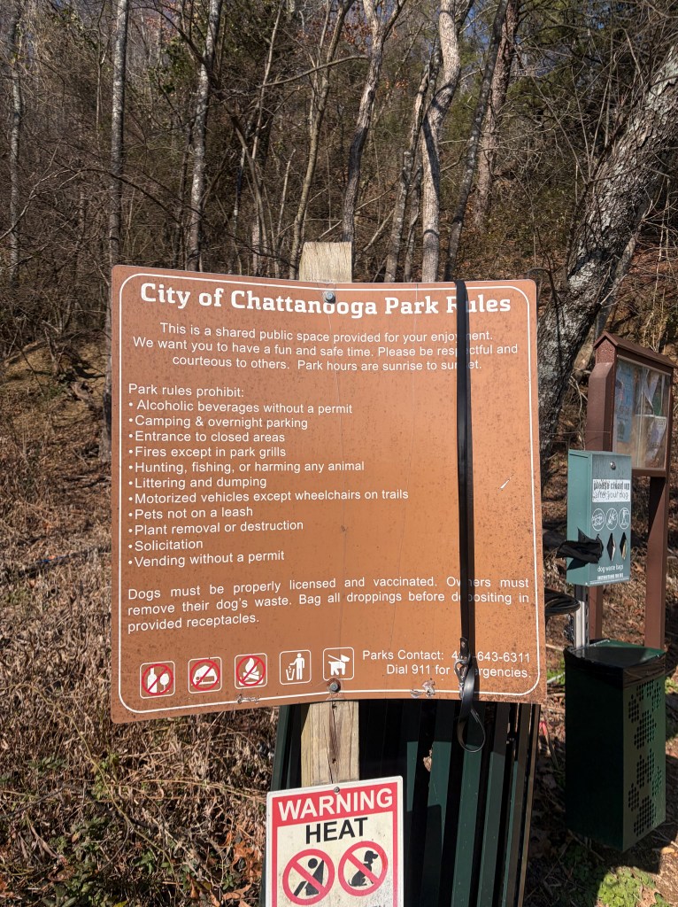
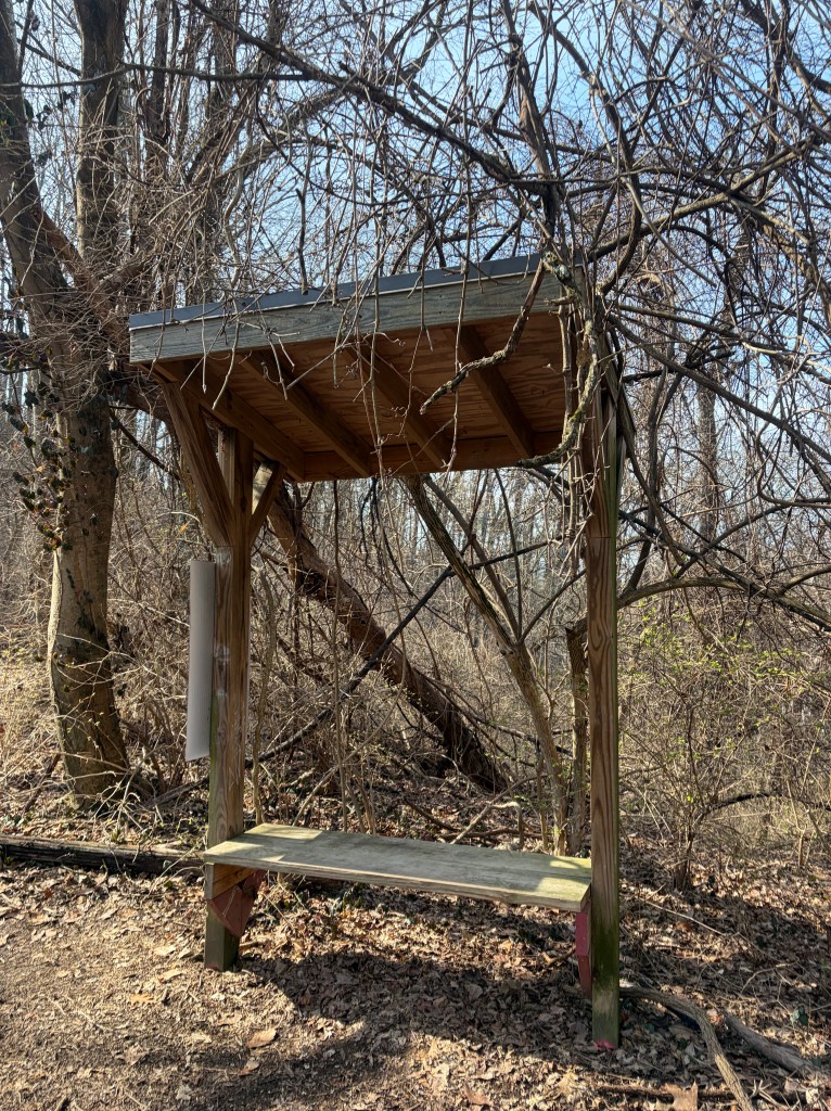
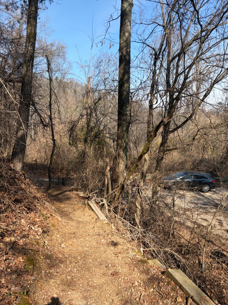
The trailhead is on the north side of the parking lot, heading uphill. You’ll find bathrooms (closed in winter!), picnic tables, trash cans, a park map, a bulletin board, a list of park rules, and some interesting sculptures around the lot. While there is a water fountain by the bathrooms, I always recommend bringing your own water as these facilities can be shut down seasonally.
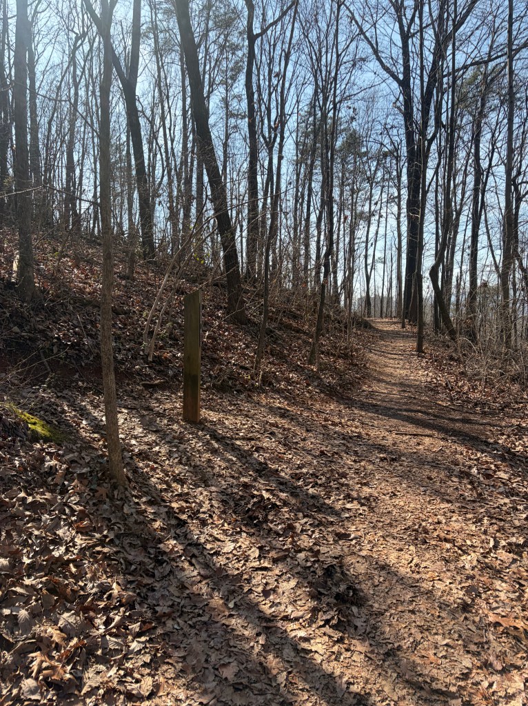
You will begin by hiking uphill for about 0.1 miles. Technically, we’re not on the Blue Trail yet. This is a short spur trail leading up to our starting point.
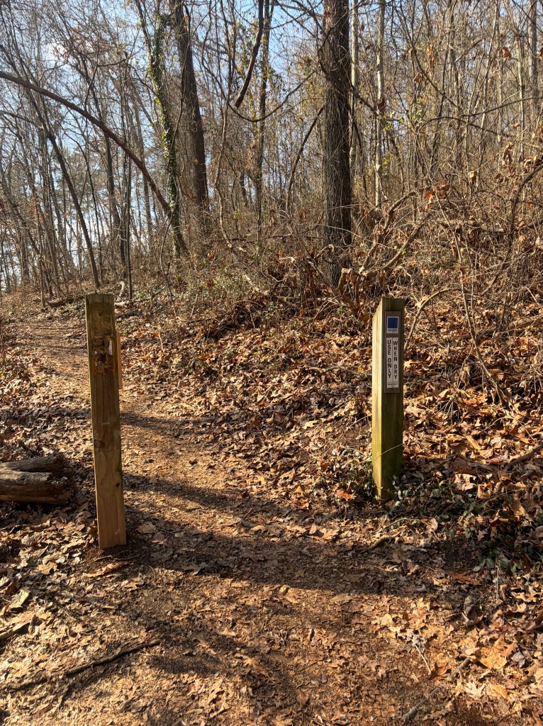
You’ll then see a trail on your left. This is where we will be coming from as we finish the Blue Trail Loop. If you wish to hike the trail clockwise, turn left here. If you wish to hike counterclockwise (in order with this trail guide), continue hiking straight.
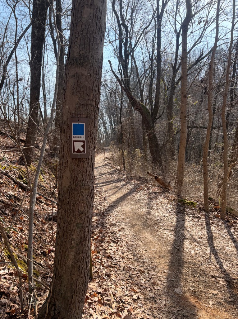
*Remember the Blue Loop Trail is actually comprised of three uniquely named trails in Stringer’s Ridge Park (Double J, Gig City, and Hill City Trails). We will be following signs for all three of these trails throughout the loop.
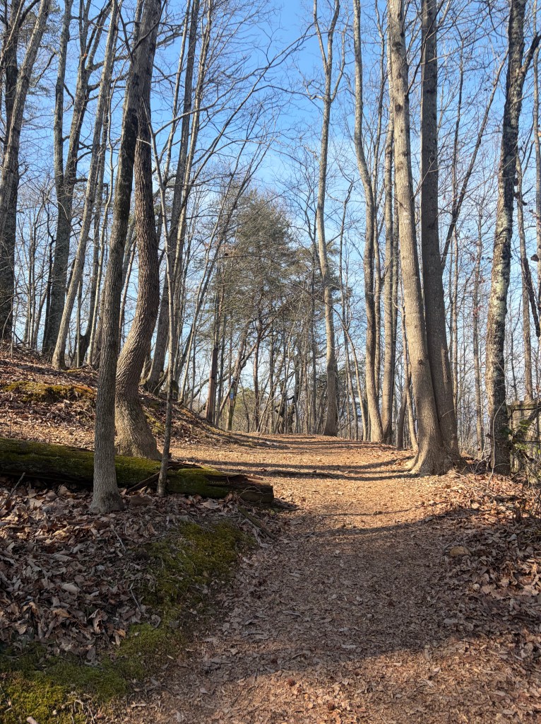
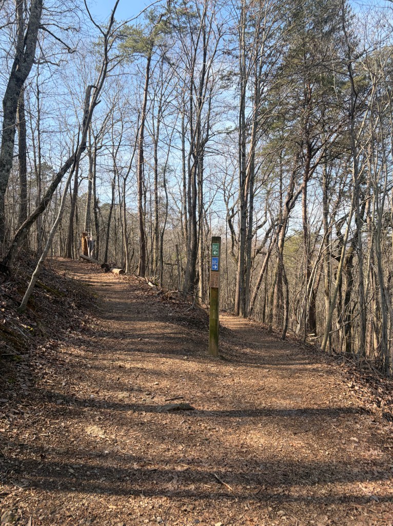
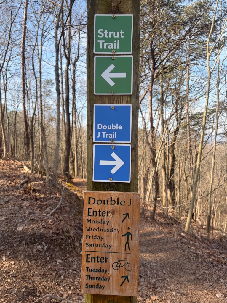
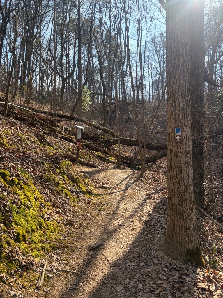
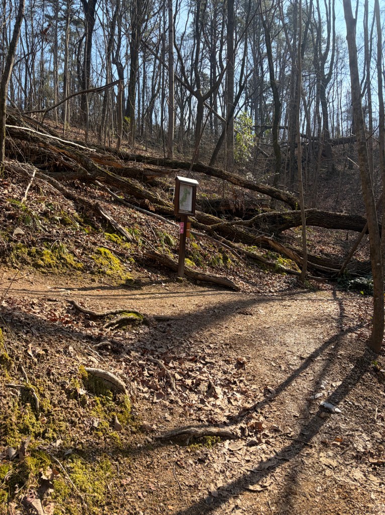
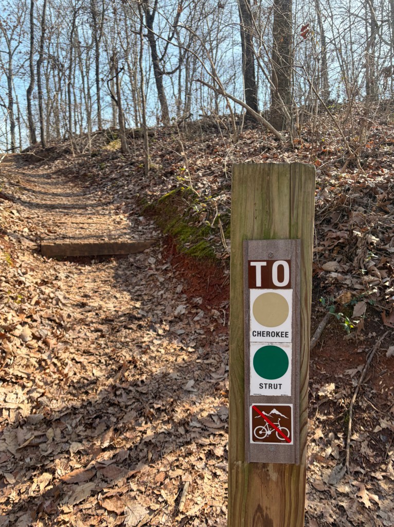
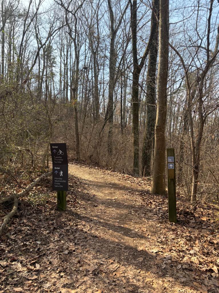
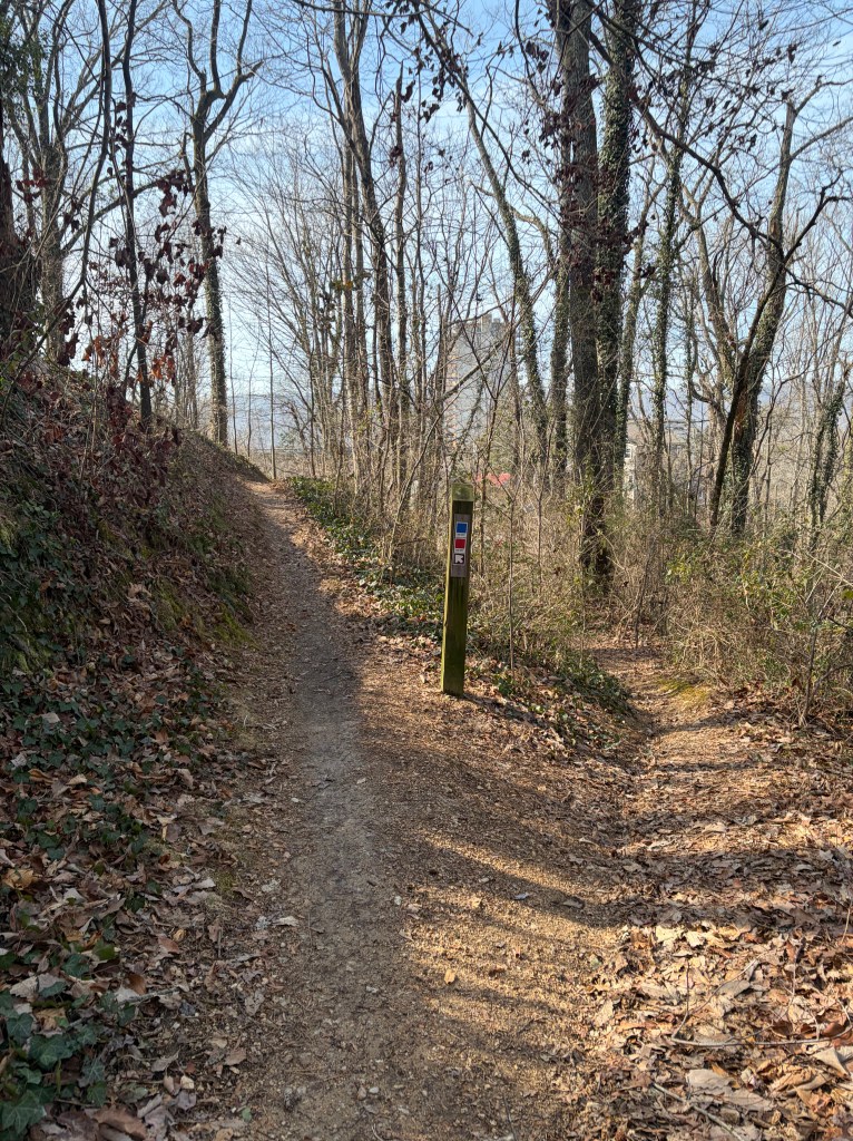
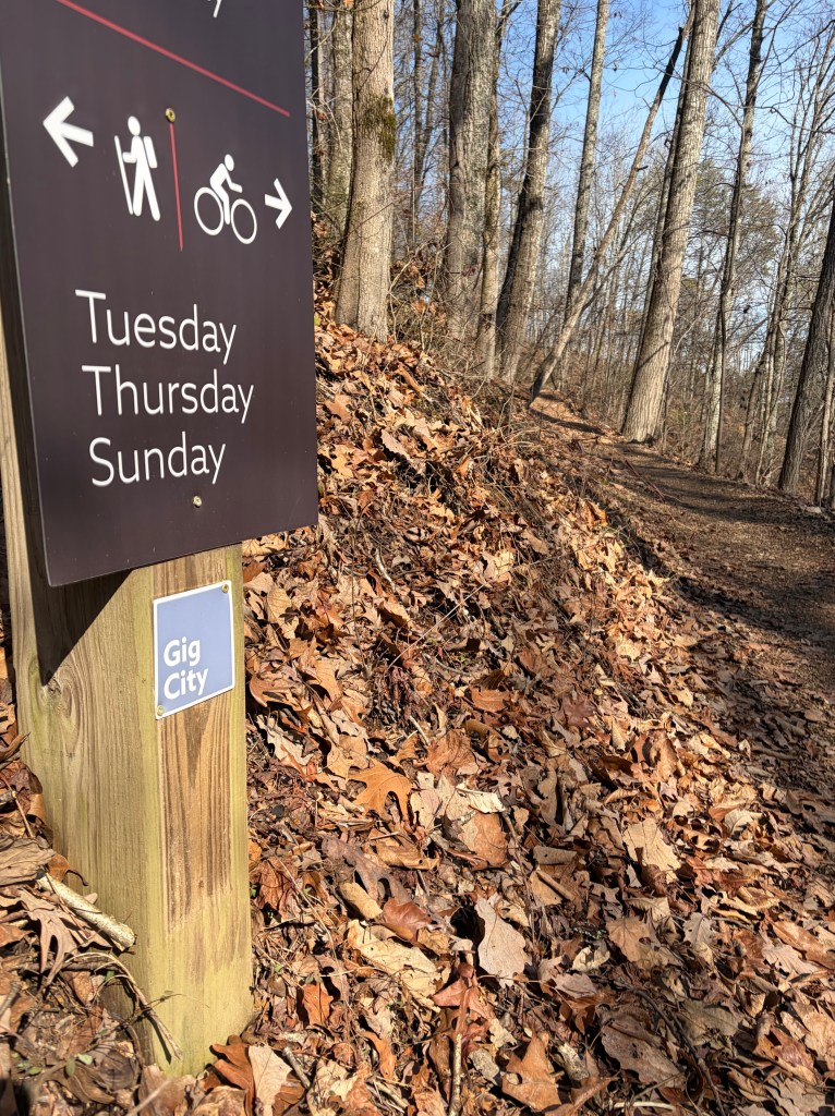
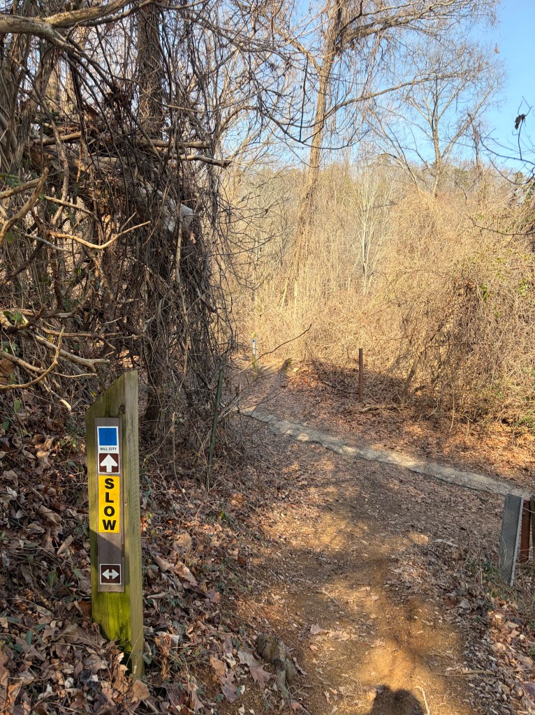
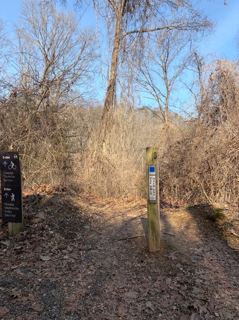
A few more twists and turns uphill and you’ll reach the top of the climb. Here you’ll see another fork in the trail with signs for green, “Strut Trail” and blue, “Double J Trail”. We want to follow the blue, Double J trail by taking the right-most path, heading downhill. There is also a trail map posted at this crossing, in case you’re interested to see where the green trail leads.
*The small wooden plaque at the bottom of this trail sign is meant to communicate specific days for hiking vs. biking on the trail. Ex: On Mon/Wed/Fri/Sat, hikers can enter the Double J Trail. On Tues/Thurs/Sun, bikers can enter. The intention here is to keep trails from becoming overcrowded and improve safety by minimizing potential collisions. While these alternating days are heavily suggested, they are not always adhered to. If you do hike on a “bike” day, or any day for that matter, make sure to stay vigilant and keep an eye/ear out for any quickly approaching bikers.
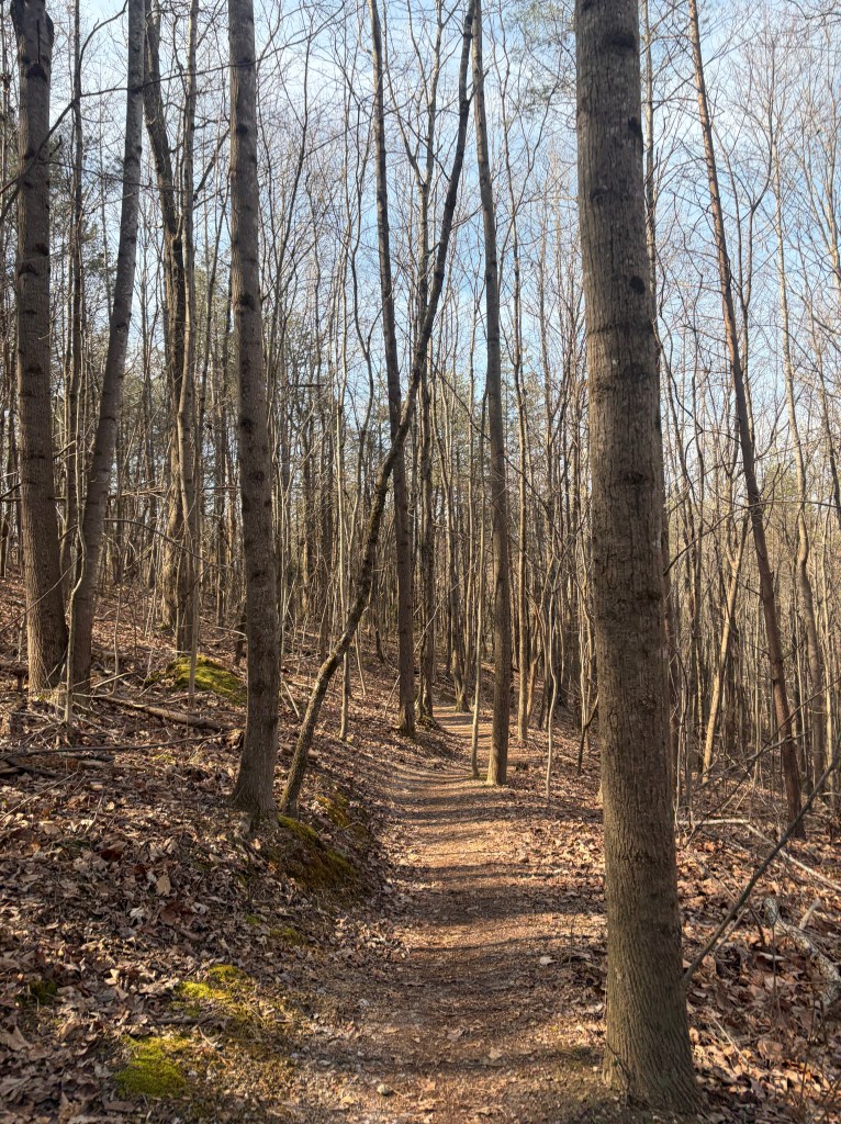
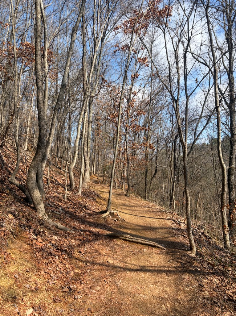
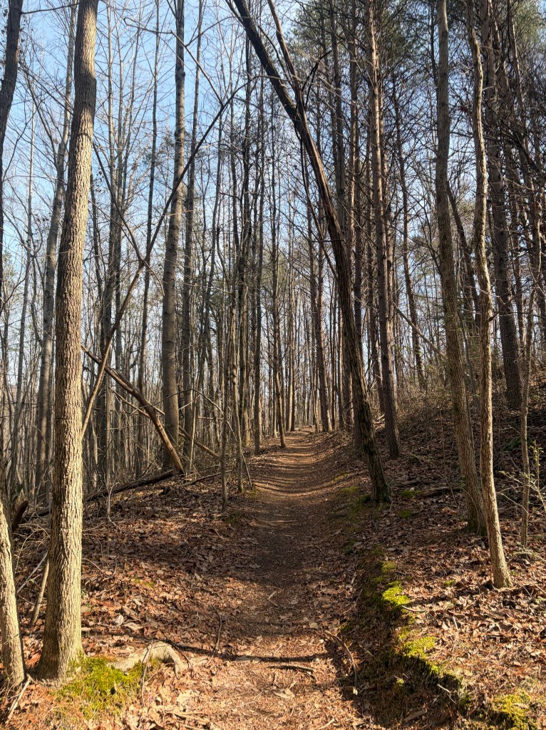
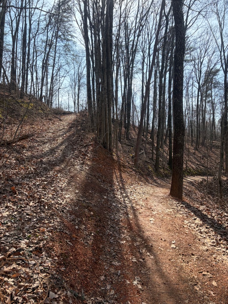
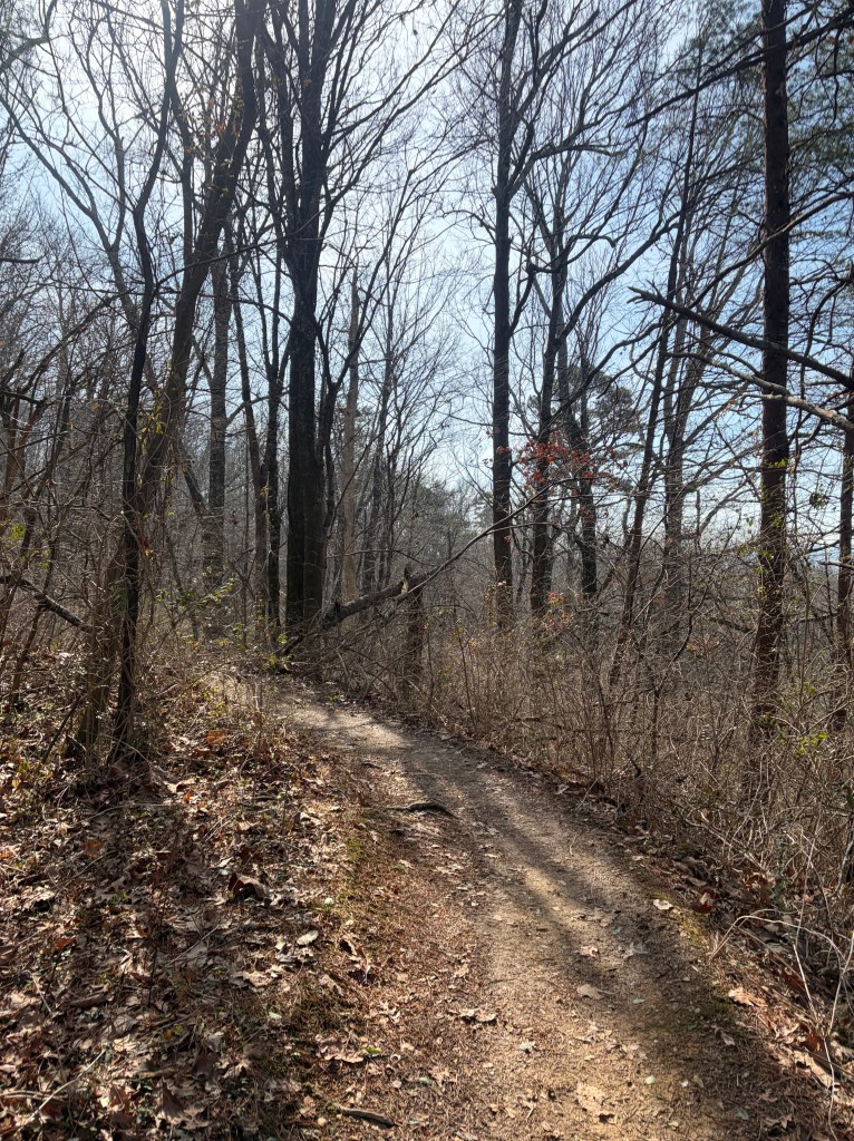
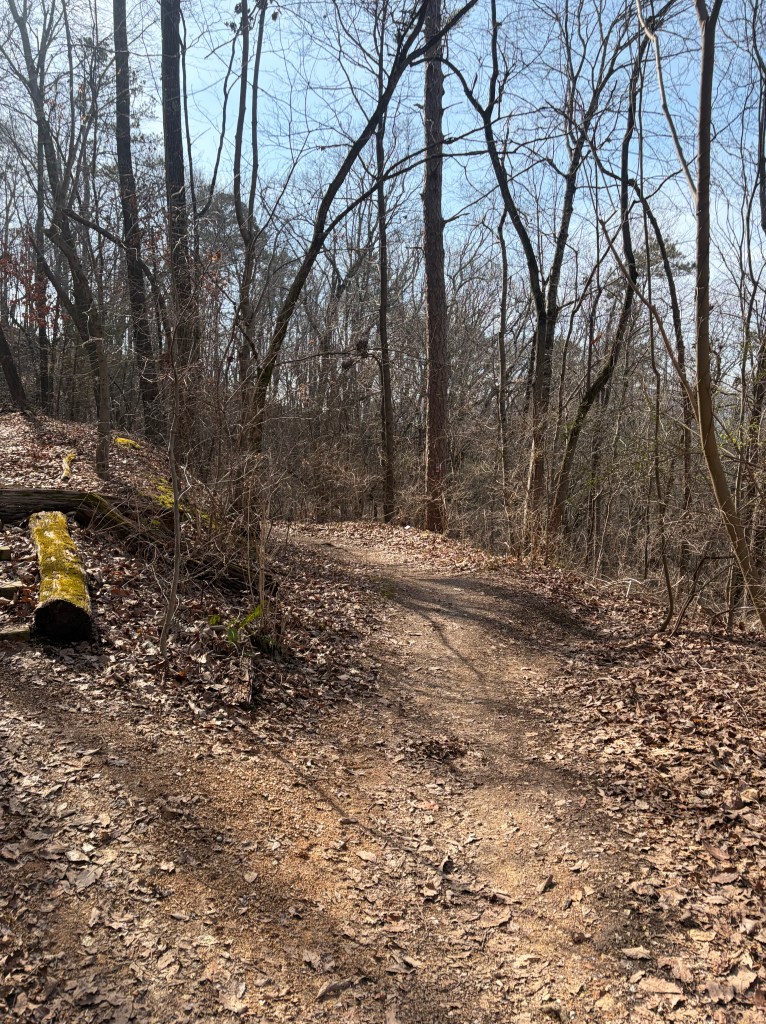
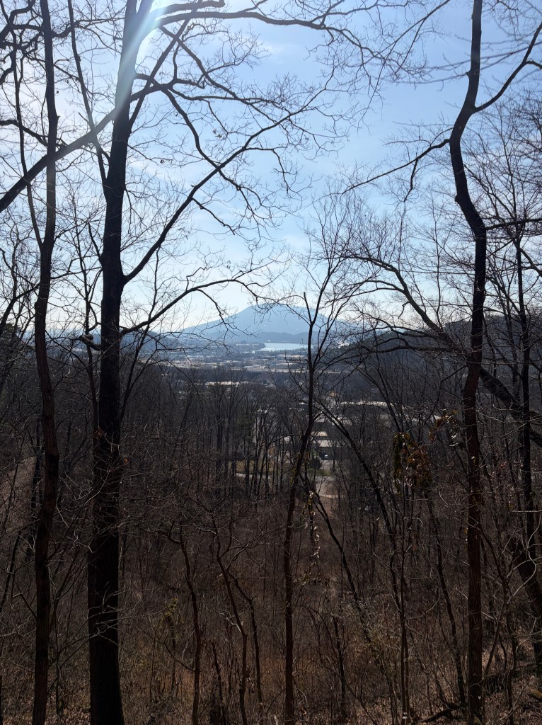
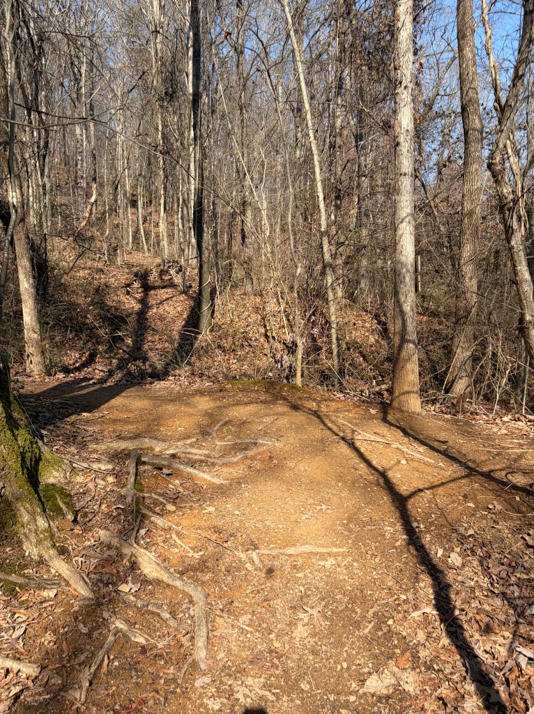
Follow the winding path downhill. If the trees are barren, look to your right for views of Signal Mountain.

About half mile into your hike, you will arrive at a “T” in the trail. Turning right here will put you on the pink, “White Oak Connector” Trail (This connector will take you all the way to White Oak Dog Park). Turning left will keep you on the blue, Double J Trail. Turn left, heading back uphill.
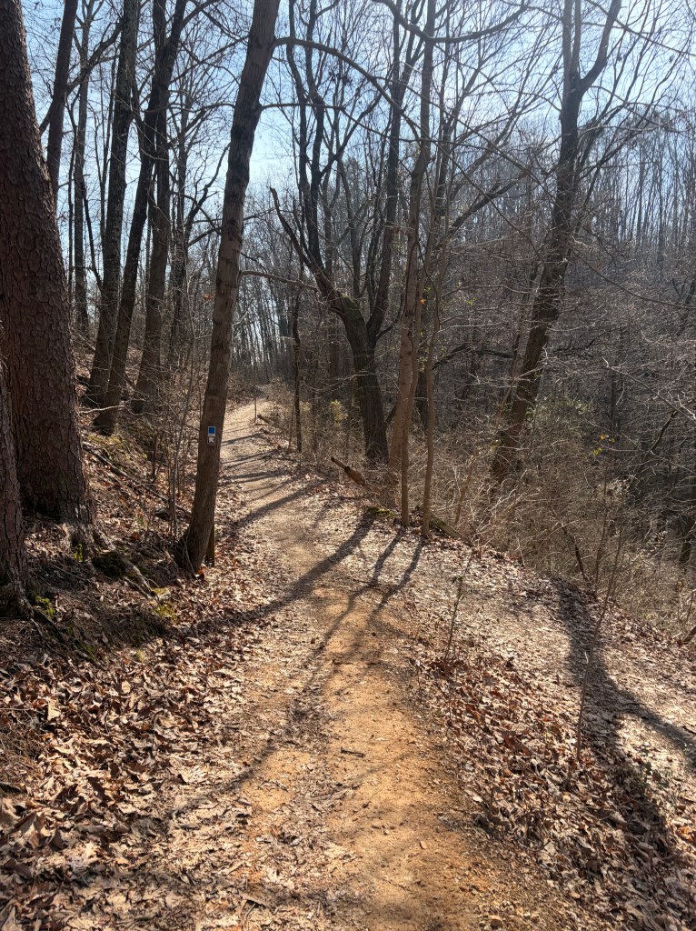
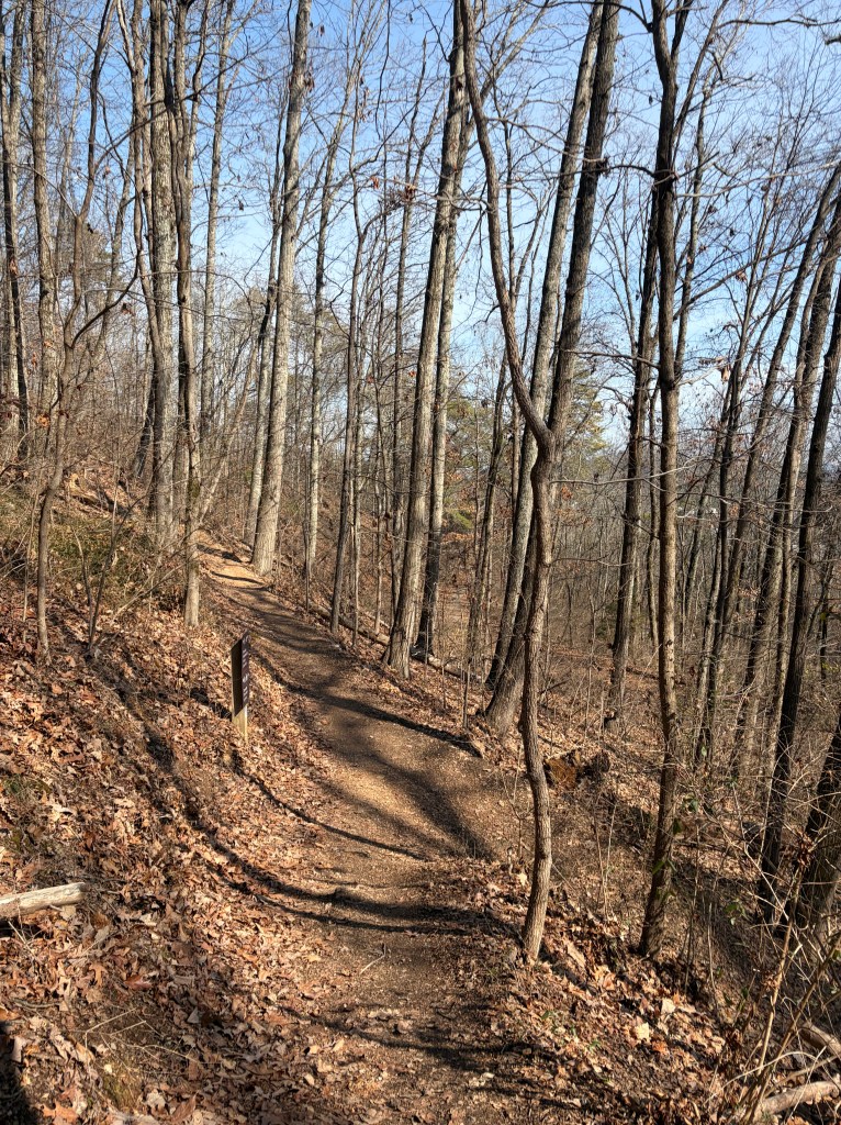
You’ll experience a few sharp switchbacks throughout the trail. Part of what makes these trails so fun for bikers.
About 0.9 miles into the hike you’ll see a small trail heading off to the right. Ignore this trail and continue straight. Generally, when you see a small side trail like this- without any kind of trail sign- you can assume it’s not the right direction. These smaller offshoots typically lead to neighborhoods or unmarked viewpoints.
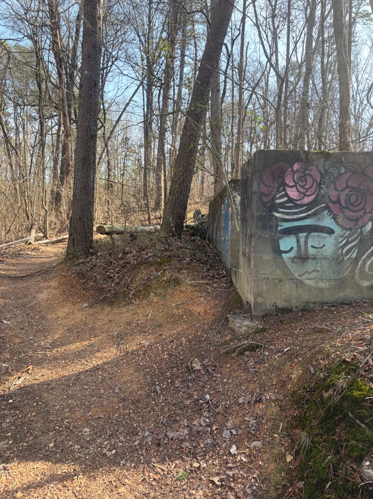
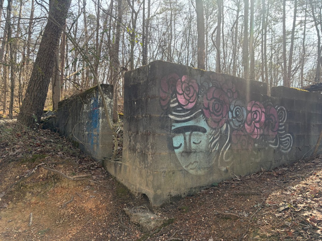
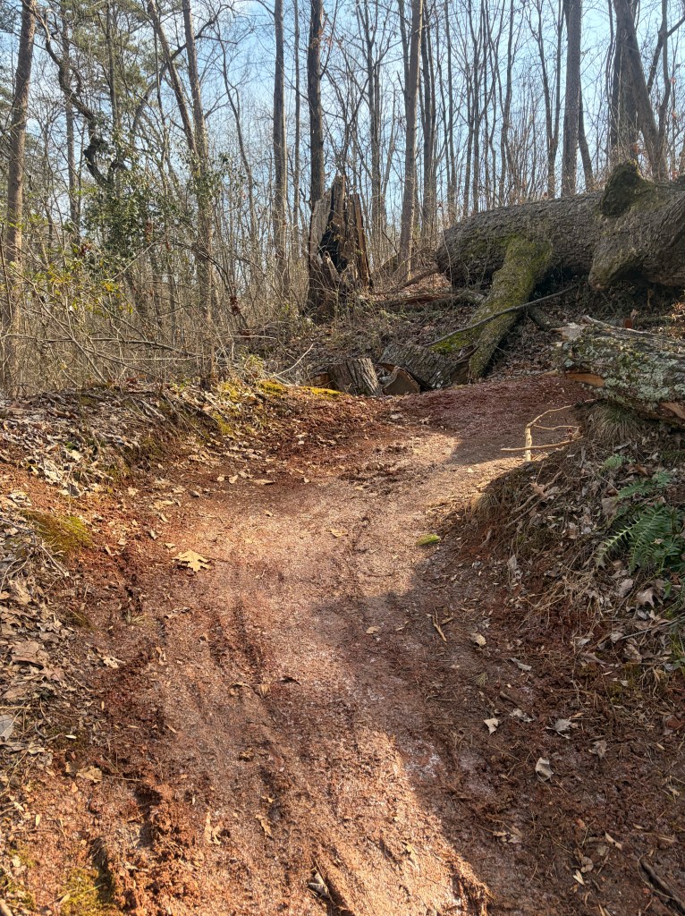
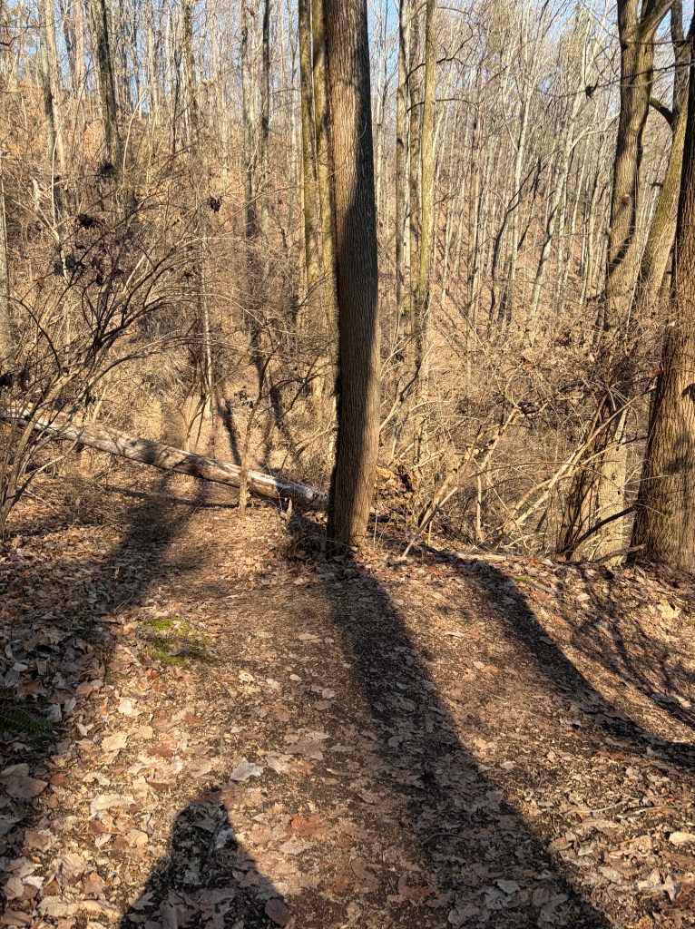
A quarter mile or so later you will pass some old building ruins on the right side of the trail. Continue following the obvious path around and past the ruins.
Just beyond the ruins you’ll pass another fork. Left turn for the tan, “Cherokee” trail and green, “Strut” trail. Pass this turn and continue straight to remain on the Blue Trail Loop.
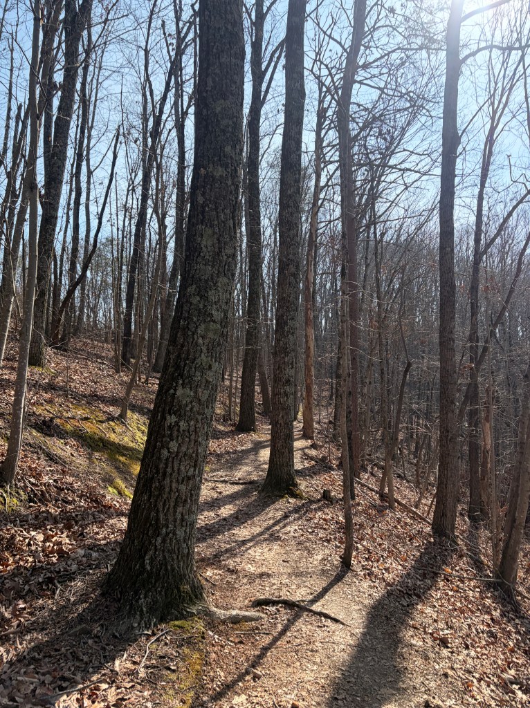
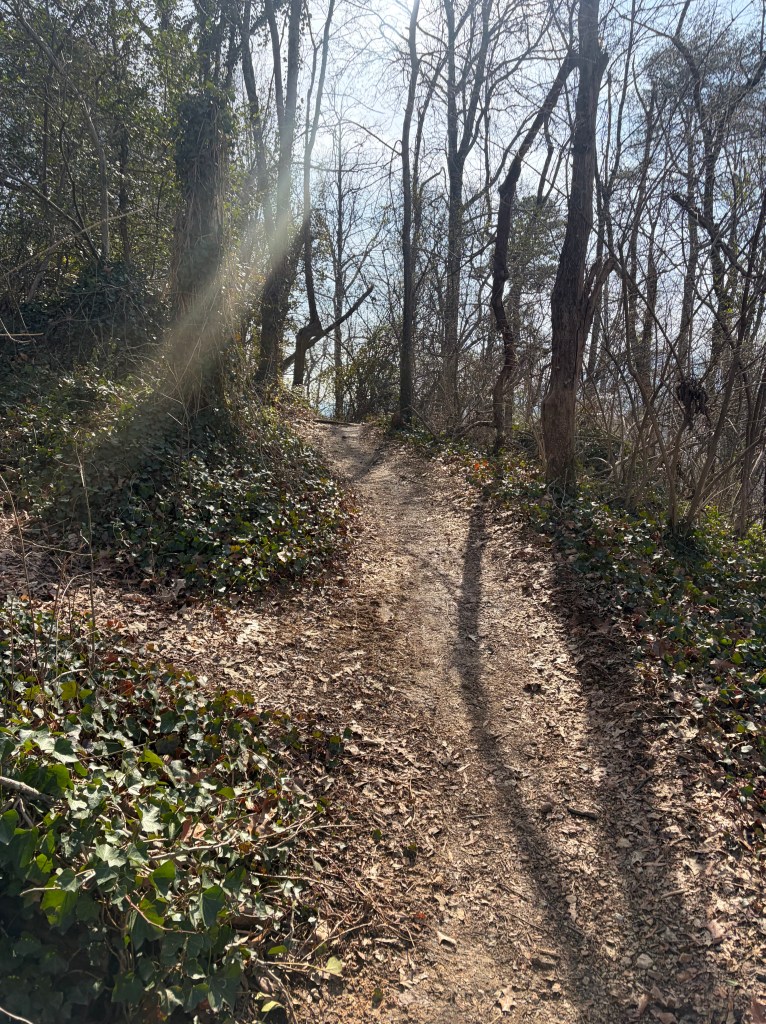
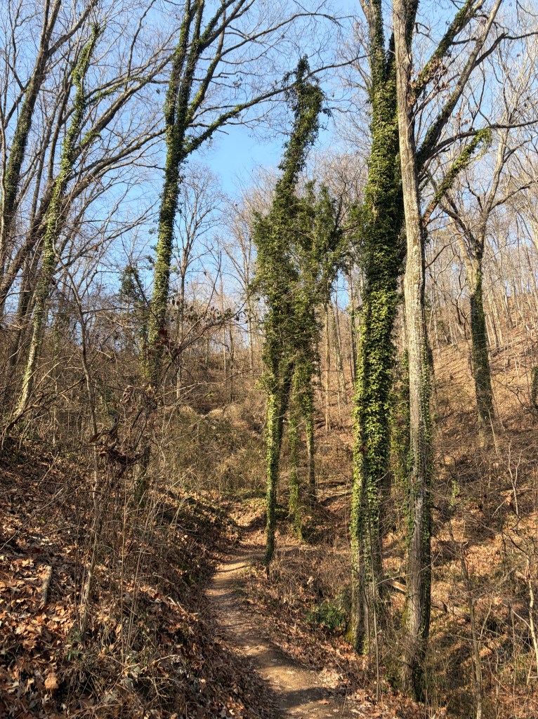
This next section is one of my favorites. You will weave in between trees as you traverse the ridge, with a beautiful view of Signal Mountain to your right (when trees are barren).
(1.2 miles into the trail) You’ll see a vague path going uphill to the left. Ignore this path and continue straight/veering right on the main path.
(1.4 miles into the trail) You’ll come to a “Y” with a switchback going right/backwards. Ignore the switchback and continue straight on the blue, Double J Trail.
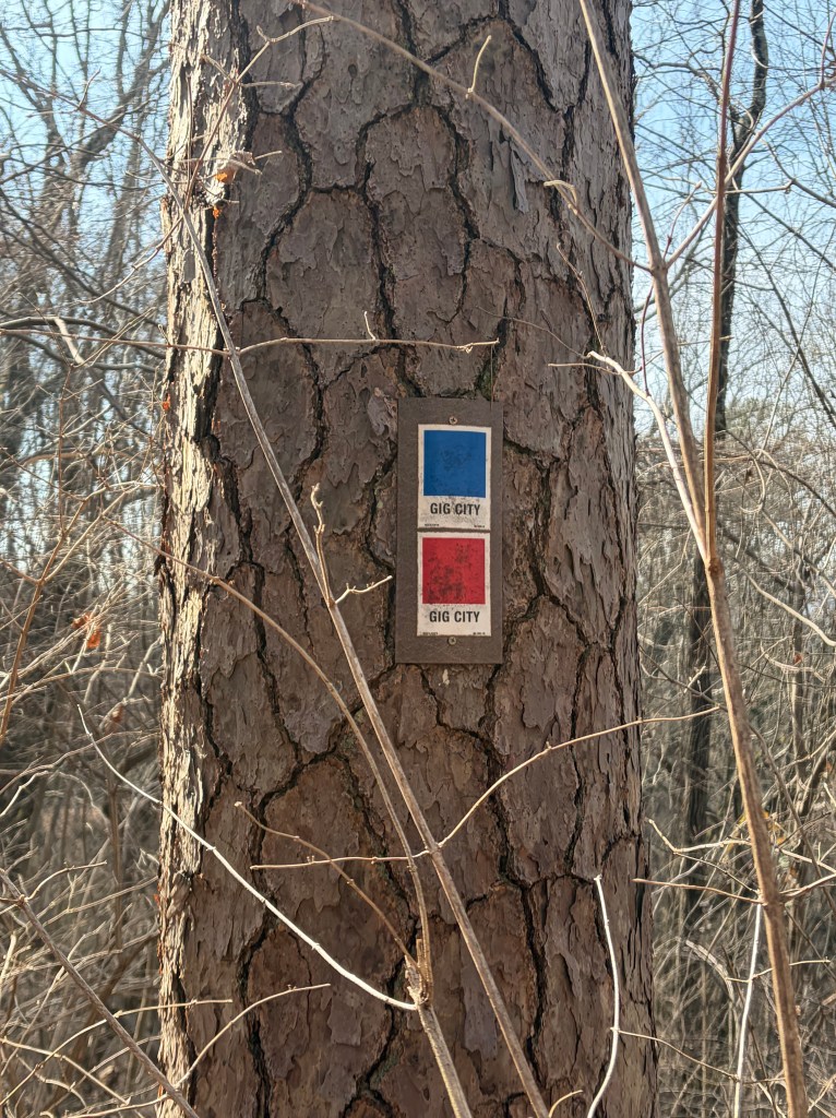
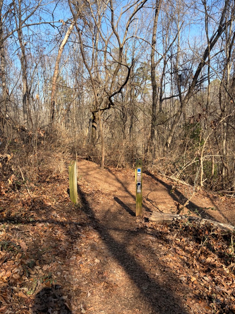
(1.5 miles into the trail) Next you will come upon a large trail intersection with four different options. Coming off the blue, “Double J” trail, you will take the first trail on your right toward the grey, “Gig City” trail to continue the loop. You will see an obvious sign for “Gig City” pointing you the right way.
There are two trail maps at this intersection and a wooden bench. Great place for a quick snack break! The first trail to your left leads up to “Alta Vista” (no bikes allowed), the second trail to your left leads to grey “Strut” trail, second trail on your right leads to tan “Cherokee” trail, and the first trail on your right to grey “Gig City” trail.

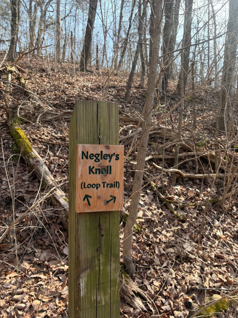
(1.6 miles into the trail) You’ll reach an intersection with “Negley’s Knoll” loop trail. Ignore both paths to your left and continue straight/right/downhill to remain on the Blue Trail Loop.
If you’d rather venture on a quick side quest, Negley’s Knoll is a short loop (quarter mile or less) that will take you up a narrow path to the top of the ridge and back down to this same intersection.
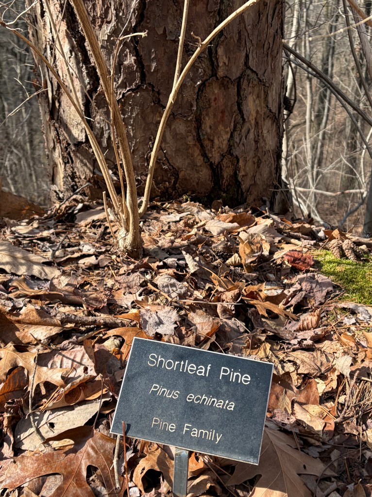
As you hike, you may notice a few plaques identifying tree species in the area.
Veer left/uphill at this fork, following the sign to stay on “Gig City” trail.
Ignore this offshoot to the left. Continue straight, following the main path.
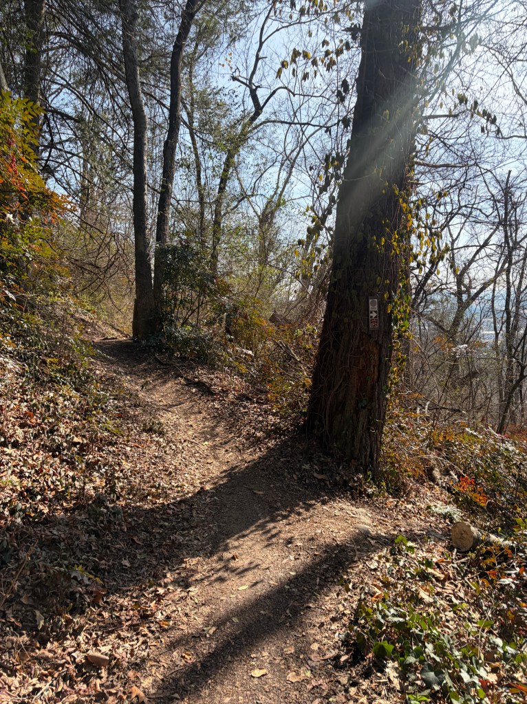
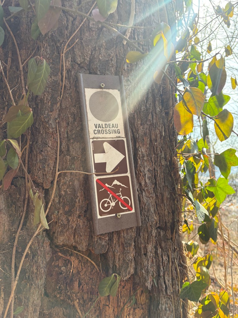
Bypass this offshoot to grey, “Valdeau Crossing” and continue straight on the main path.
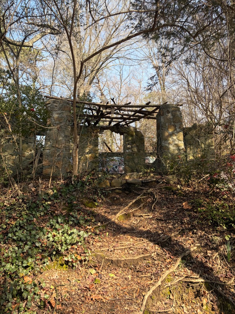
In this section you’ll pass some more building ruins on your left and a beautiful view of Lookout Mountain on your right.
(1.9 miles into the trail) You’ll approach another “Y” with a switchback on the right. Ignore this switchback and continue straight on the Gig City trail.
(2 miles into the trail) After following a series of downhill switchbacks, you’ll arrive at a small forest road crossing with a trailhead/parking area to the right. Continue straight here, crossing remnants of a paved road/trail, toward the blue, “Hill City” trail marker.

After a rainy day, you may see some water flowing in this small stream at the bottom of the ridge.
(2.2 miles into the trail) You’ll pass an offshoot on the right leading to a neighborhood. Bypass this offshoot, continue left on the main path, and begin another significant climb up the ridge.

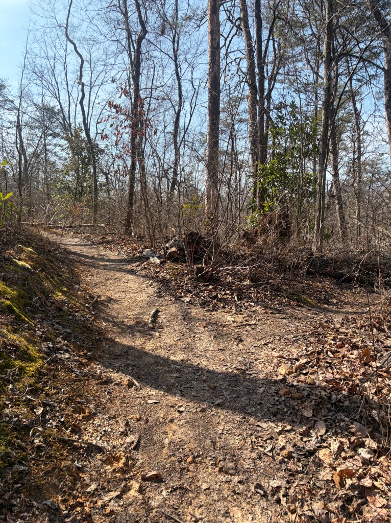
Traverse the ridge for a while before beginning another descent.
(2.5 miles into the trail) As you being heading back down, you may notice a makeshift path cutting the switchbacks. Avoid this trail and continue winding down the switchbacks to the bottom of the ridge. Cutting switchbacks is bad for trail maintenance as it increases erosion.
Only one more significant climb after this- you’re almost there!
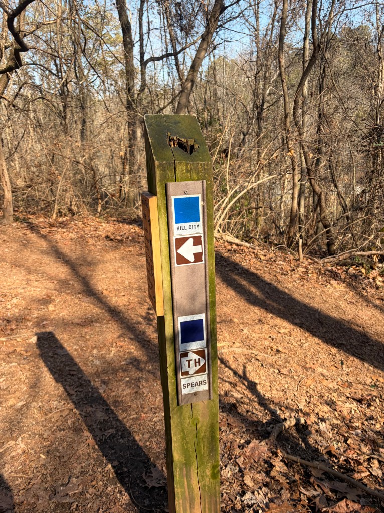
(3.5 miles into the trail) You’ve reached the final intersection of the hike. This is the first sign we passed when beginning the trail. At this point you have officially finished the Blue Trail Loop (great job!). Turn right/downhill here, toward the purple, “Spears” trailhead, to return back to the parking lot (0.1 miles).
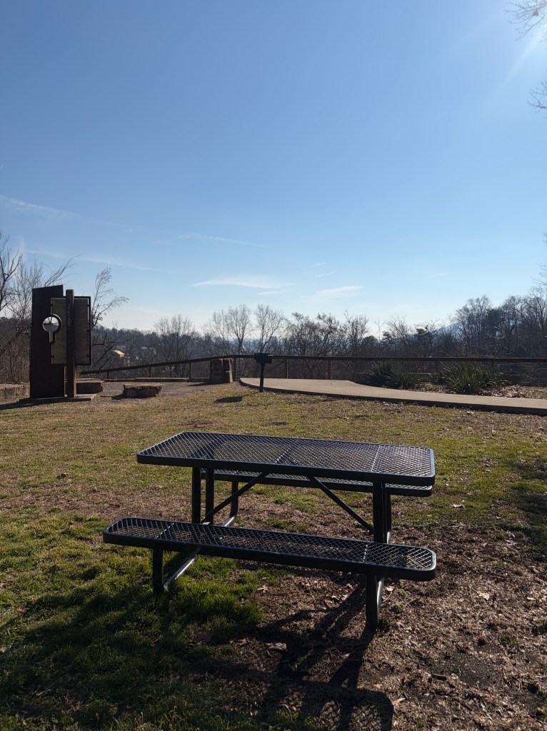
Time for a post-hike picnic? Great job and happy trails!

