Distance: 1.2 mi
Elevation Gain: 295 ft.
Estimated Time: 0.5-1 hr.
Style: Out-and-back
Parking Fee: Free
Glen Falls Trail is located on Lookout Mountain in Chattanooga, TN. It is a part of Chickamauga & Chattanooga National Military Park. To find the trailhead, follow TN-58 up Lookout Mountain for about 1.5 miles. The trailhead parking lot will be on your left. You can search “Glen Falls Trailhead” on most GPS apps.
Trailhead Coordinates: 34.9920556, -85.3408460
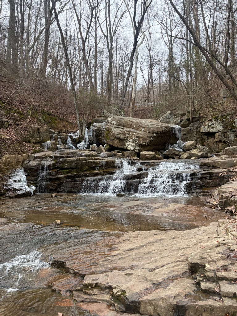
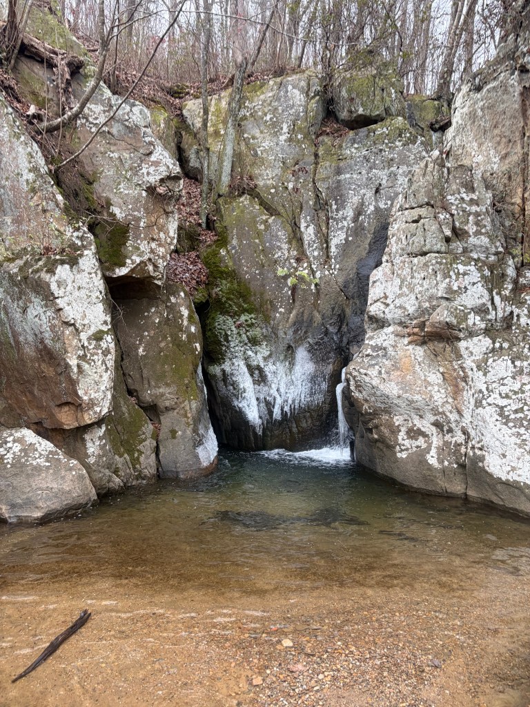
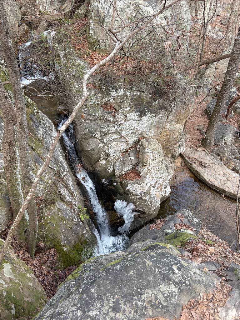
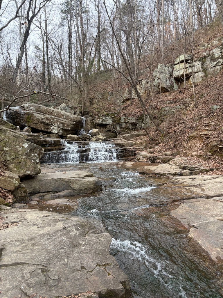
Glen Falls, turnaround point
Below is a step-by-step trail guide for hiking Glen Falls Trail in Chattanooga, TN. Take screenshots and follow along as you hike!

Trailhead parking is located on the left side of TN-58 heading up Lookout Mountain. There are no road signs pointing to the lot and it appears somewhat abruptly, so be prepared to slow down. Be careful pulling out of this lot too- traffic moves fast. There is room for maybe 5-10 cars. This trail is very popular, so expect heavy traffic on weekends.
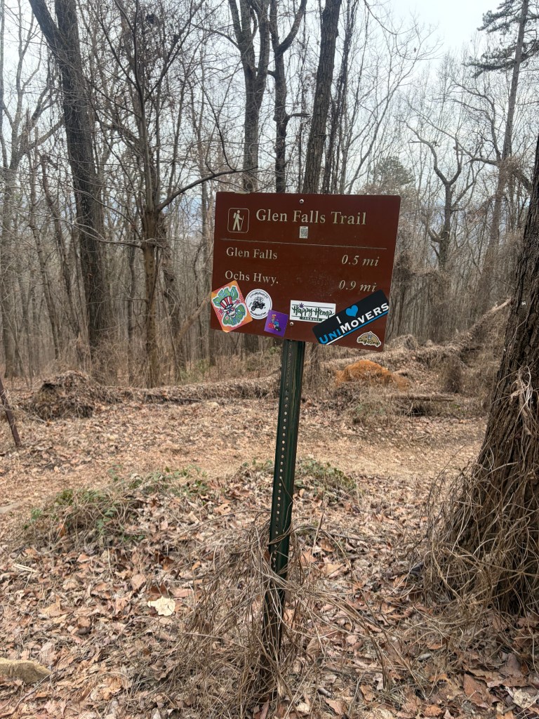
Heading down from the parking lot toward the trees, you’ll see this trail sign for the Glen Falls Trail. Hike past the sign onto the obvious trail, heading right.
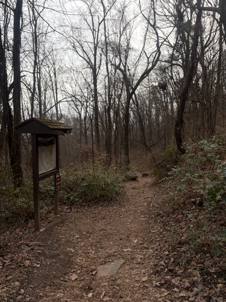
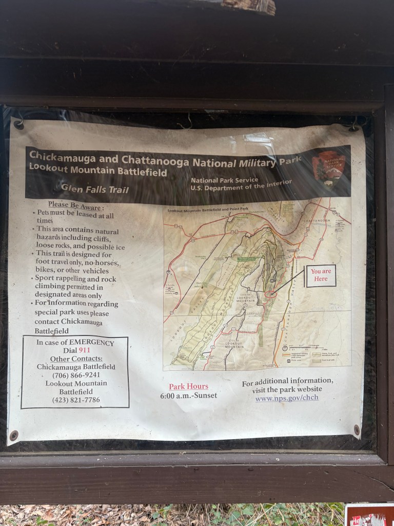
You’ll see a small wooden kiosk to your left displaying a trail map and some useful safety information. Continue past the sign on the obvious trail.
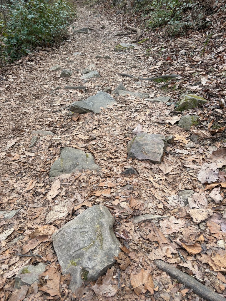
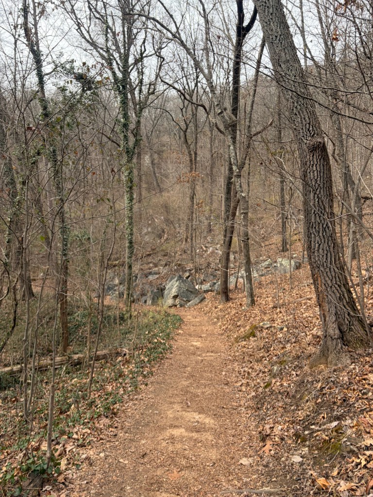
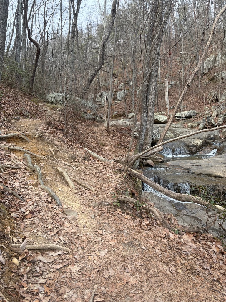
This trail is considered “moderate” in difficulty. It’s well maintained, but there are frequent rocks and roots, so watch your footing.
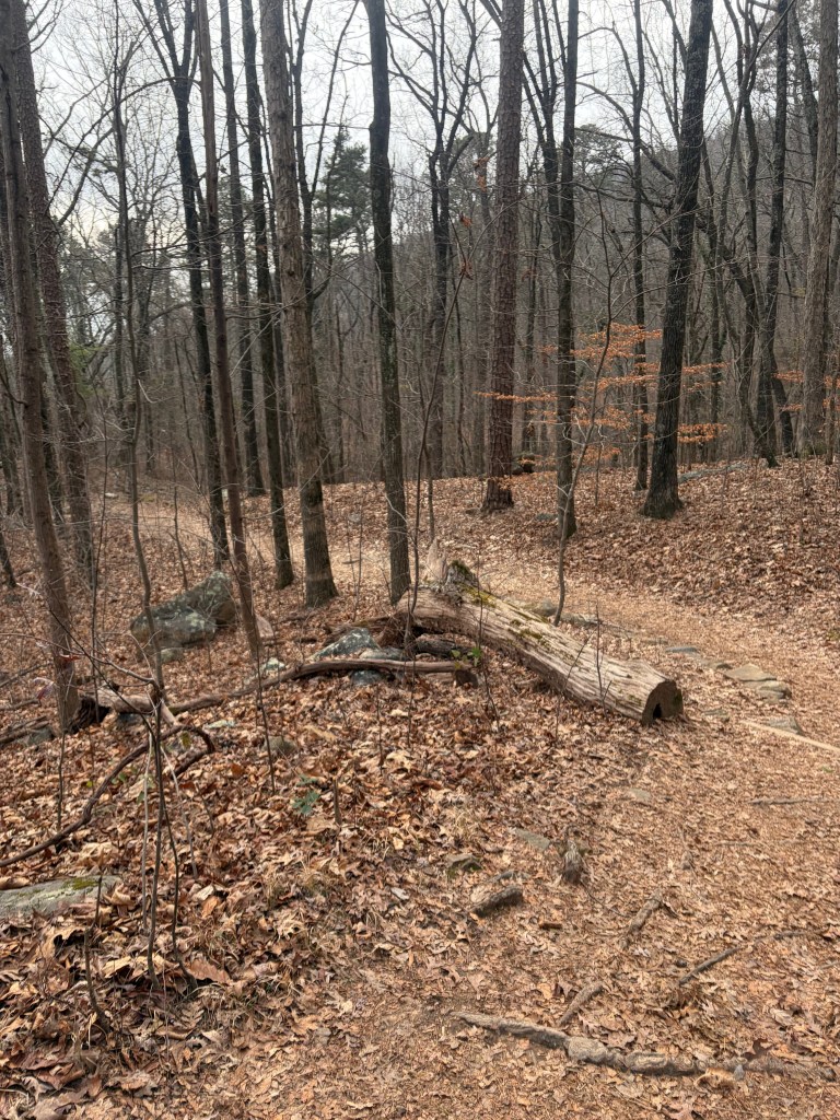
Continue following the trail around some curves. If hiking in winter or early spring, look to your left for a beautiful view.
About 0.1-0.2 miles into the trail you’ll notice a subtle side trail leading out to the left. Ignore this turn and continue straight/veering right to remain on the more established path.
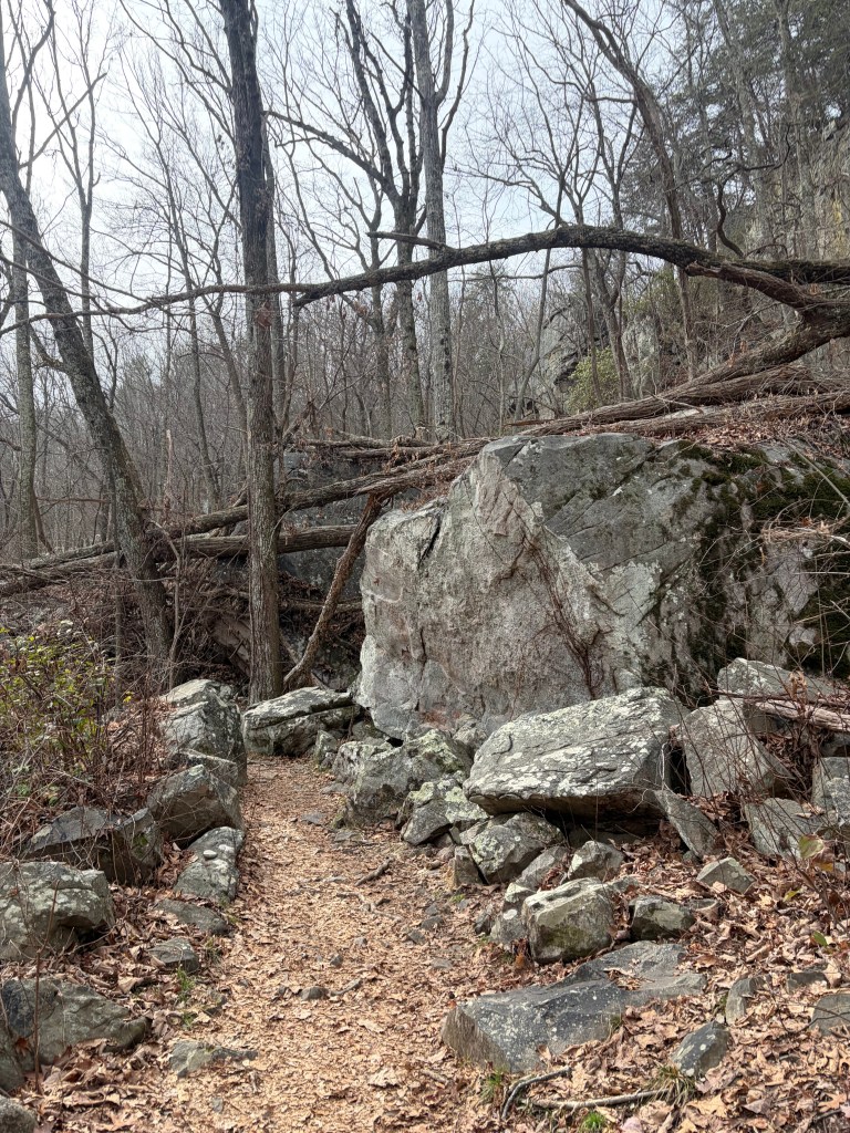
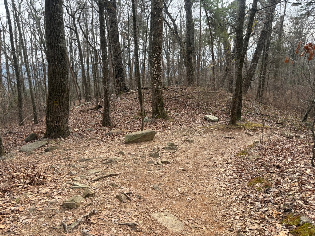
Chattanooga is known widely for its rock climbing and bouldering opportunities. As you hike along the trail, you’ll notice a number of rocky outcroppings.
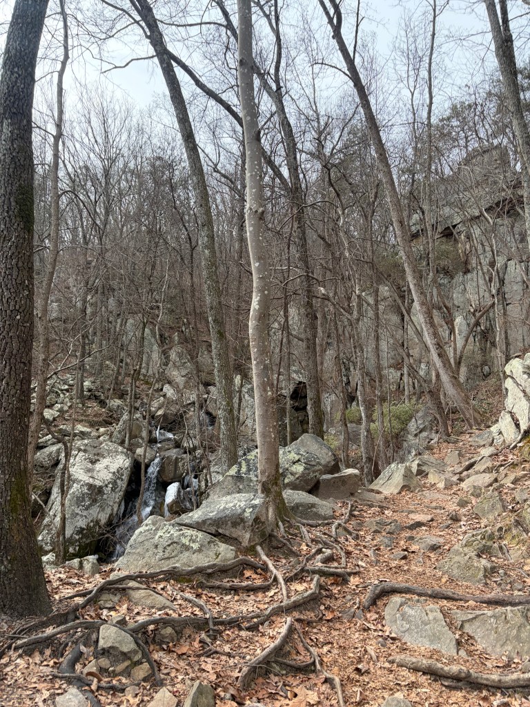
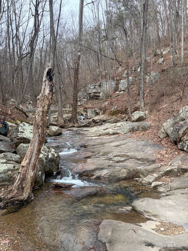
Eventually the trail will curve right, opening up to your first waterfall view.
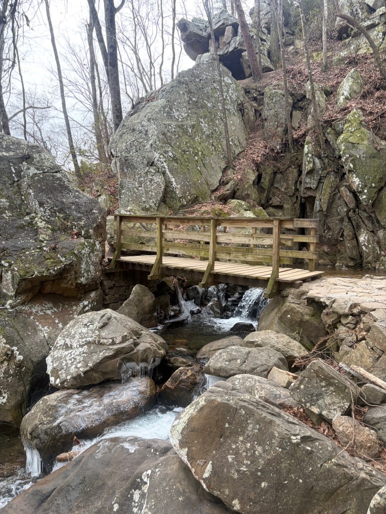
You will then be lead to a small bridge that takes you across the river. Look to your right to see another small waterfall. This is a great place to stop for a quick break before reaching the final turnaround point.
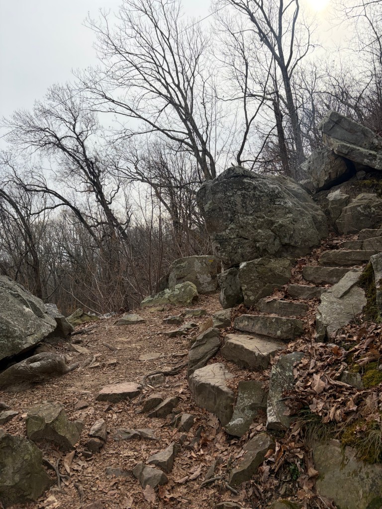
After crossing the bridge, you will have the option to continue straight or turn right up a stone stairway. To continue on the Glen Falls Trail, turn right here and follow the stone steps.
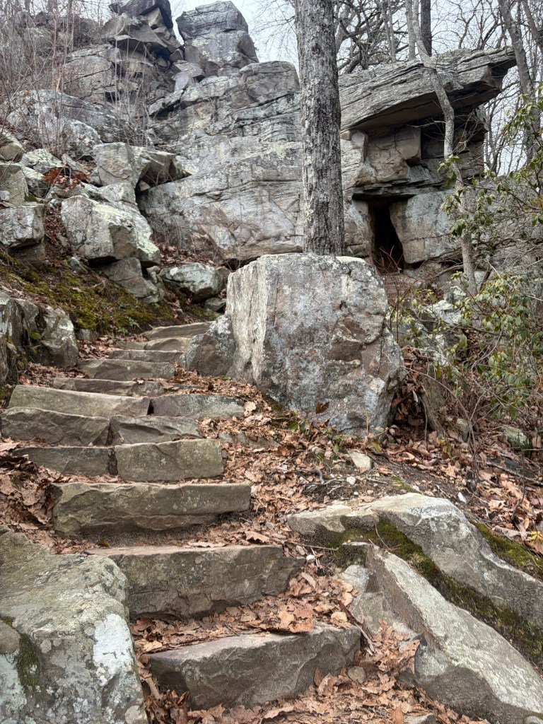
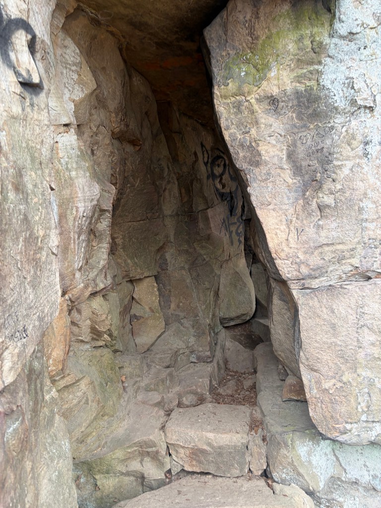
The stone stairway will lead you up to a small rock cave. Continue following the trail through the cave.
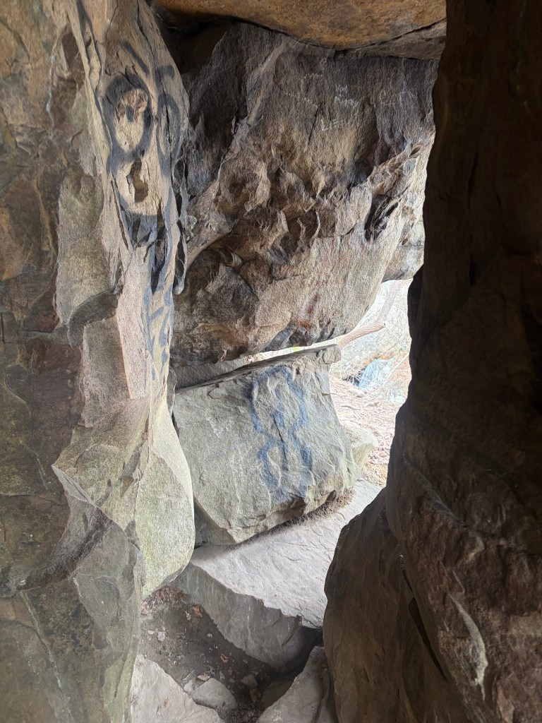
On the other side of the cave you’ll get a nice overlook of the bridge and small waterfall below.
From here, you can follow the path along the left side of the river for about 200 ft. Continuing all the way to the turnaround point will require some mild traversing/scrambling around rocks.
There are numerous flat spots to sit for a snack break and dip your toes in the water.
This will be your turn around point for the hike. If you’re feeling adventurous, you can scramble around on the rocks (be careful!), but the trail does not continue beyond this point. Once you’ve had your fill of the beautiful Glen Falls, turn around a retrace your steps back to the parking lot.